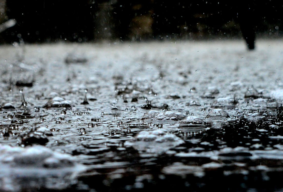
November, December, and January are the wettest months of the year on the south coast of BC and five atmospheric rivers in the month have helped keep the lake and river levels high.
We all remember the drought of 2019, as we received 199 millimetres of precipitation last year and when you compare that to the 444 millimetres that fell this January, we may not suffer the way we did last year.
Environment Canada Meteorologist Armel Castellan said while January is a precursor to determining how wet the next five months will be, July will tell us a lot about what the rest of the year will look like in terms of participation.
“Looking at the past few months, the pressure will be on in June and potentially again in July, if June doesn’t come up to the table and give us some rain,” said Castellan.
He said, “That will dictate how the summer really evolves in terms of drought and agriculture, and wildfire concern.”
By the numbers, from January to May 2020, the North Cowichan weather station has recorded 615 millimetres of precipitation, compared to 370 millimetres in the same five months of last year.
Castellan said January serves as a barometer for what the first half of the year will look like.
“January is obviously the heaviest weight because it’s one of the big three months of the year for total accumulations (with November and December), so anytime there is a big January or a very dry January, it’s going to play a role in that five-month weather budget,” said Castellan.
Manager of Environment at Catalyst Paper, Brian Houle said Cowichan Lake has double the amount of water on this day of May as it did last year on this day.


